
The story
Historical context
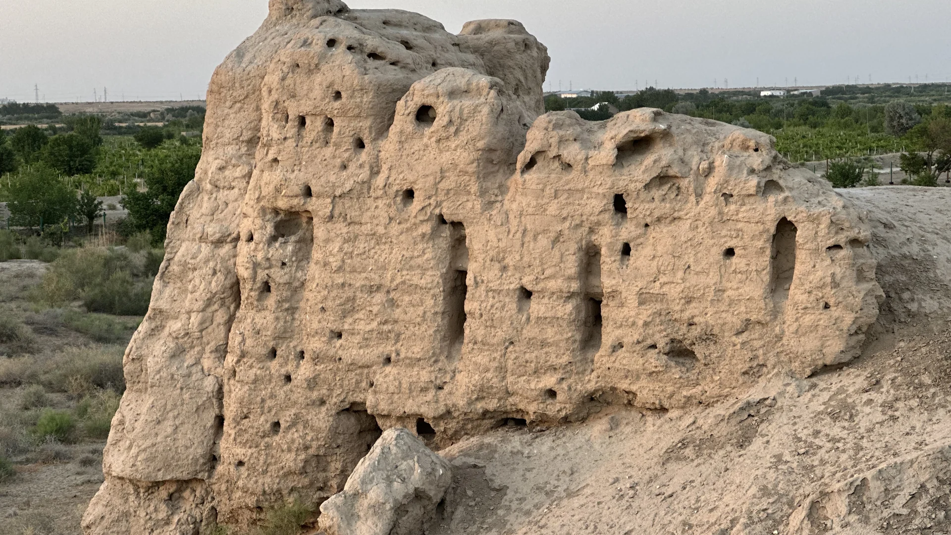
Paykend developed as a fortified merchant city at a crossroads linking regions across Eurasia. Archaeology has revealed citadels, urban quarters, craft areas and religious buildings that changed over centuries. The exposed ruins make the scale of a vanished city legible in the landscape.
How to read the place
Paykend developed as a fortified settlement on the southwestern approaches to the Bukhara oasis and is closely associated with long-distance exchange. Its ruins reveal urban organization more clearly when viewed together with material from the site museum.
Place in the city and route
The archaeological landscape is broad, exposed and incomplete by nature. Walls and mounds are evidence rather than reconstructed scenery, so the visit depends on careful observation and contextual explanation.
Before you visit
Visit the site museum and ruins together: the finds help explain the settlement plan, while the open landscape shows Paykend’s position at the edge of the oasis.
Why it matters
It is one of the region’s strongest places for connecting Silk Road history with archaeology on the ground.
Highlights
- Citadel remains
- Urban street plan
- Caravan-route landscape
- Site museum context
Gallery
Practical notes
Use suitable footwear and protection from heat and wind; follow conservation boundaries.
Suggested visit: 2–3 hours.
Add this place to your Uzbekistan journey.
Save the places that interest you, arrange the order, then request transport directly in WhatsApp.